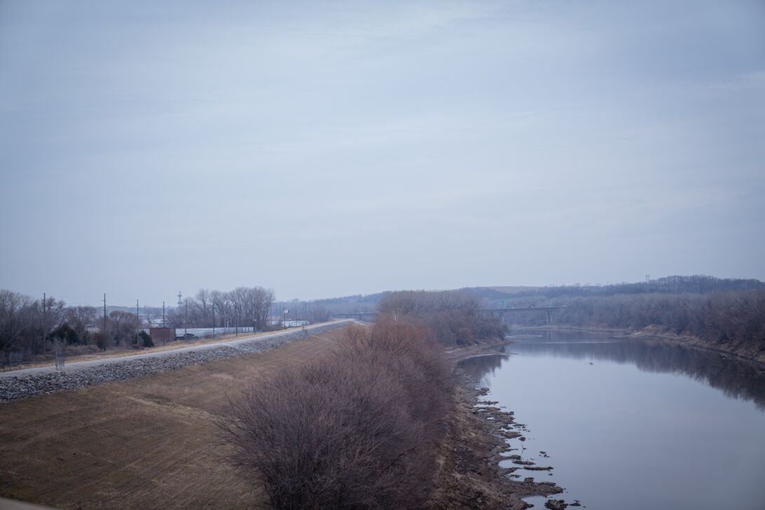
Prone to historic flooding, the Kansas River has put Kansas City, MO, and Kansas City, KS and their residents at risk since the cities were founded. The Levees that Lane Construction is raising, modifying, and replacing will greatly reduce the likelihood of flooding in these areas.
Even more important than reducing the probability of the next flood, the people who live and work behind these floodwalls will feel safer, enabling them to do more as a community. We are already seeing progress.
Kansas City and the Kansas and Missouri Rivers
Sitting on the junction of the Kansas and Missouri rivers, Kansas City, MO, was founded in the 1830s as a port city. Because of the confluence of the Kansas and Missouri rivers, early settlers traded fur along the waterway, building trading sites.
In addition to the proximity to the waterways that facilitated trade, Kansas City was located along the three main trails driving westward expansion: The Oregon Trail, the California Trail, and the Santa Fe Trail.
Although seeing steamboat traffic in the mid-1800s, that traffic fell rapidly due to continued flooding, which eventually forced traffic to cease in the 1860s due to the unnavigability of the river.
Although helping to spur economic development, the federal government sought to reduce risk from river flooding in the 1930s with the Flood Control Act of 1936. This act, and one in 1944, provided for the construction and/or improvement of the existing levees to further reduce the risk of damages to the city’s infrastructure caused by flooding.
Major flood events in 1951 and again in 1993 led the U.S. Army Corp of Engineers to conduct a feasibility study that paved the way for major improvements, including 60 miles of levees and floodwalls along both banks of the Missouri and Kansas Rivers in the Kansas City Metropolitan area.
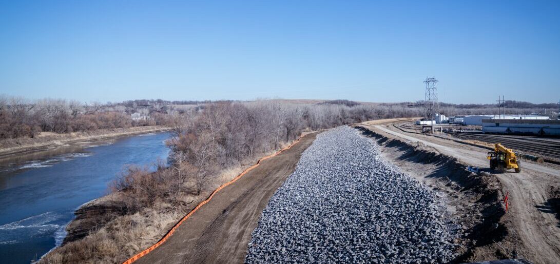
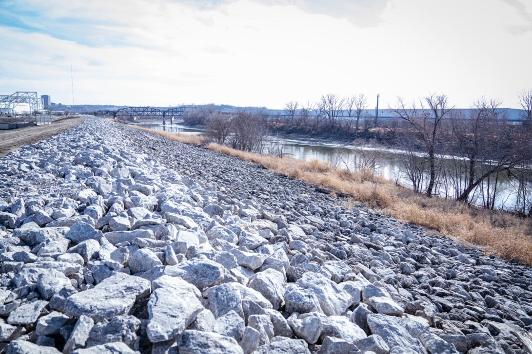
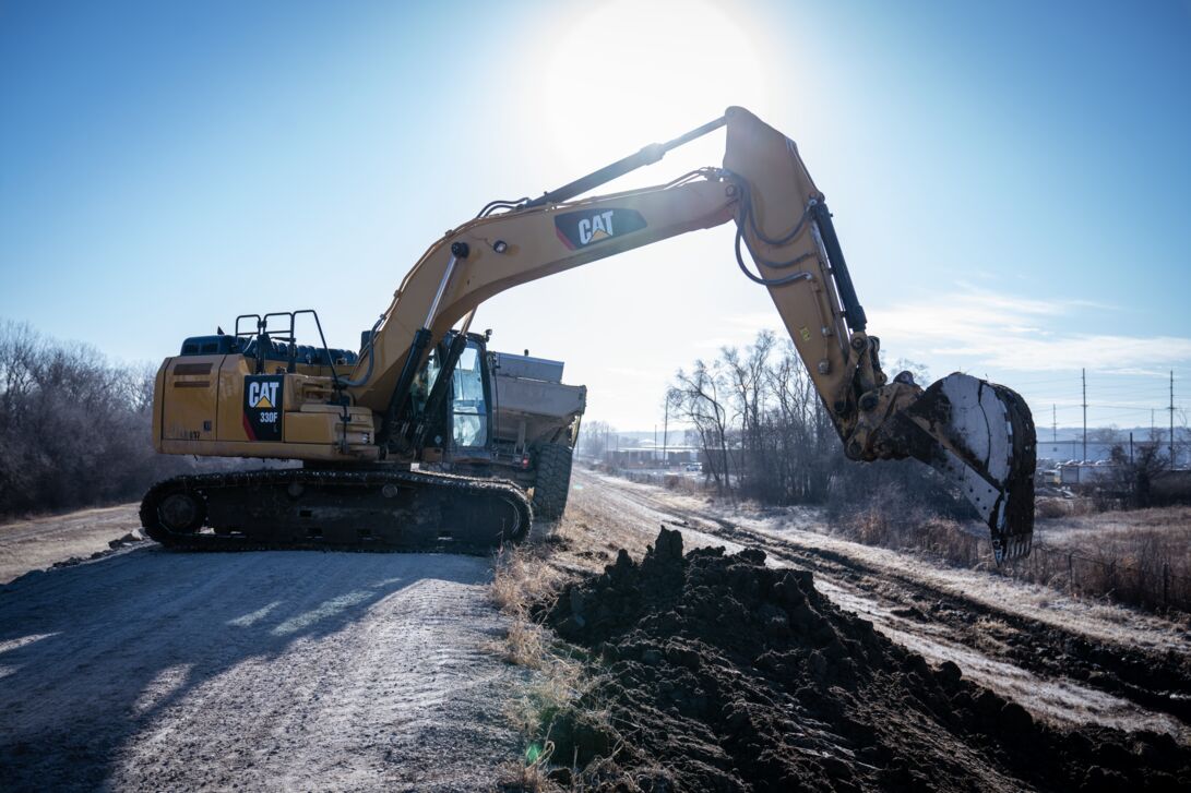
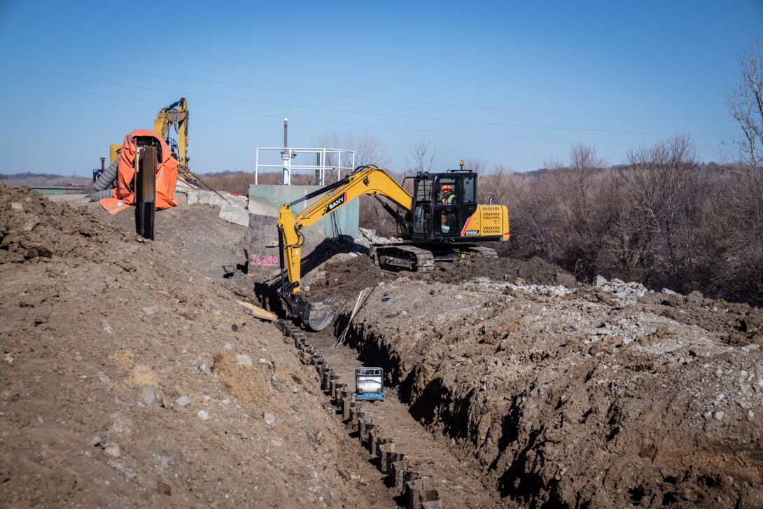
To help deliver on a part of this major infrastructure project, Lane is raising, modifying, and replacing 17 miles of levees and floodwalls in the heart of Kansas City’s industrial and commercial districts.
The Current Plan: Building Reliability and Resiliency
Historically prone to flooding, residents have strong memories of devastation. James Jenkins, Chairman of the Kaw Valley Drainage District remembers the 1951 flood: “I remember the smell of the flood, the boxcars floating, the houses floating down the river.”2
Rebuilt stronger and higher, the levee and residents faced a new test in 1993, when another great flood nearly went over the top of the levee — it was the second largest flood on record for the Kansas River. As the river was cresting, locals worked with U.S. Army Corp of Engineers to sandbag the tops of levees to fight the flooding.
After the 1993 flooding, local officials were determined to solve the flooding risk. Lane is doing its part by delivering a part of the Kansas City Levees project.
Technical Details
- 1,000,000+ cubic yards of earthwork
- 25,000 feet of new concrete floodwall
- 120 new relief wells
- Construction of 8 new stoplogs closure structures
- Improvements to nearly 40 drainage structures
- Modifications to over 175 existing utilities
Not Just About Preventing Another Flood: Enabling Investments and Peace of Mind
Speaking about the project’s impacts, in 2021 then mayor/CEO of the United Government of Wyandotte County and Kansas City, KS said “These improvements have and will protect the safety of persons who live and work near and behind the floodwalls. Moreover, levee enhancements can also act as a catalyst to connecting people, providing new bike and hike paths along the river that expand recreation opportunities, and improve quality of life in our communities.”3
This echoes the feelings of many locals who see safer neighborhoods and new and permanent economic development opportunities for local communities.
The peace of mind is already setting in, with several projects in development including the Rock Island Bridge redevelopment project scheduled to be opened in the spring of 2024, and phase two of the West Bottoms apartments, a $40 million mixed-use luxury apartment development planned to be built on three acres in Kansas City’s Stockyards District.
Benefits
Benefits for the Economy
By raising, modifying, and replacing these levees, the risk of flooding will be reduced by 200%. That is 200% less risk for the nearly 30,000 residents and the owners of $10 billion worth of property behind these levees. Locals are now looking to the future.
“This project allows us to develop comfortably and safely, and also to open up amazing areas for recreation for business for commerce, and for tourism,” said Kansas City Mayor Quinton Lucas in a recent interview.1
Not only is Kansas City’s industrial and commercial districts important to the local economy, but the area is also vital to the national economy as a manufacturing, distribution, transportation, and warehousing hub. Major companies and manufacturers such as BNSF, Union Pacific, and Proctor and Gamble — and their employees who live locally — will all benefit.
Benefits Vital to Protection and Safety:
- Preserve $10 billion in infrastructure
- Protect 100,000 jobs and 7,000 structures
- Reduce flooding risk
- Improve levee safety and flood awareness